
ဝှာင်:I-80 Eastshore Fwy.jpg

ဇမၞော် နမူနာ ဏအ် - ၈၀၀ × ၅၇၆ pixels အရာမသ္ဂုတ်သွာတ်လဝ်ဂမၠိုၚ်: ၃၂၀ × ၂၃၀ pixels | ၆၄၀ × ၄၆၁ pixels | ၁၀၂၄ × ၇၃၇ pixels | ၁၂၈၀ × ၉၂၂ pixels | ၁၆၀၀ × ၁၁၅၂ pixels တၞဟ်။
ဝှာင် တမ်မူလ (၁၆၀၀ × ၁၁၅၂ pixels, file size: ၃၀၄ KB, MIME type: image/jpeg)
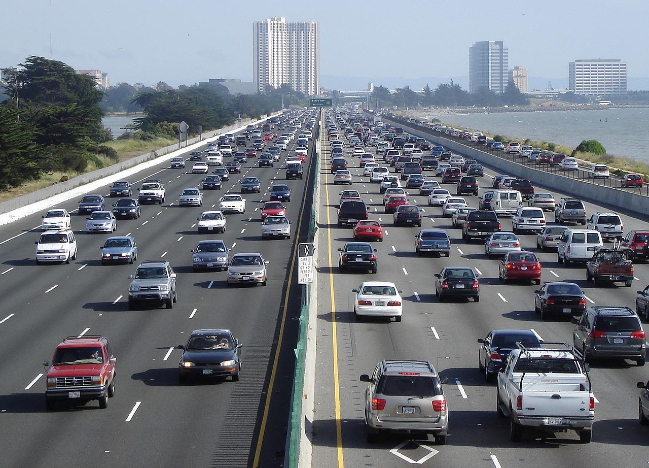
| ကဵုယၟု | Looking south above en:Interstate 80, the Eastshore Freeway, near en:Berkeley, California on a Saturday afternoon. en:Emeryville, California is at the towers, en:Aquatic Park (Berkeley) is visible to the left. To the right is the east shore of the en:San Francisco Bay. Picture taken by Minesweeper on May 14, 2005. |
| တမ်ရိုဟ် | Minesweeper |
| ကဝိ | User Minesweeper on en.wikipedia |
| တင်မကဵုအခေါင် (ကလေင်သုင်စောဲ ဝှာင်ဏအ်) |
Released under the GNU Free Documentation License. |
| အခြား ဗားရှင်းများ |
Originally from en.wikipedia; description page is (was) here * 10:17, 15 May 2005 [[:en:User:Minesweeper|Minesweeper]] 1600×1152 (311,297 bytes) <span class="comment">(Looking south above Interstate 80, the Eastshore Freeway, near Berkeley, California on a Saturday afternoon. Picture taken by me on May 14, 2005. {{GFDL}})</span> |
| Camera location | | View this and other nearby images on: OpenStreetMap |
|---|

|
လိက်တအ်ဂှ် သၠးကဵုလဝ် အခေါင် သွက်ဂွံ စၠောအ်ကပ်ပဳ၊ ပရး ကီု သီုကဵု ပလေဝ်ပခိုဟ်ပတိုန် အတိုင်သၞောတ်ဝ် GNU Free Documentation License, တုဲ မူ ၁.၂ ဟွံသေင်မ္ဂး မူတြေံနူဂှ် မတြးပတိတ် နကဵု သၞောတ်ဝ်လာင်ဇြေန် Free Software Foundation; with no Invariant Sections, no Front-Cover Texts, and no Back-Cover Texts. A copy of the license is included in the section entitled GNU Free Documentation License. |
| ဝှာင်ဏအ်ဂှ် စၟတ်သမ္တီလဝ် နကဵုလာင်ဇြေန် Creative Commons Attribution-Share Alike 3.0 Unported ရ၊၊ | ||
| ||
| This licensing tag was added to this file as part of the GFDL licensing update. |
(Uploaded using CommonsHelper or PushForCommons)
ဝှာင် လၟေင်အပြံင်အလှာဲ
ဍဵု လတူ စၟတ်တ္ၚဲ/အခိင် မွဲမွဲ သွက်ဂွံ ထ္ၜးကဵု ဝှာင် မကတဵုဒှ်လဝ် ပ္ဍဲအခိင်ဂှ်၊၊
| စၟတ်တ္ၚဲ/အခိင် | ဗီုပြင်နမူနာ | ပမာဏ | ညးလွပ် | တင်ပသောင်ကလး | |
|---|---|---|---|---|---|
| လၟုဟ် | ၁၀:၅၈၊ ၂၃ အံက်တဝ်ဗါ ၂၀၀၆ | | ၁၆၀၀ × ၁၁၅၂ (၃၀၄ KB) | Zzyzx11 | {{Information| |Description= Looking south above en:Interstate 80, the Eastshore Freeway, near en:Berkeley, California on a Saturday afternoon. Picture taken by Minesweeper on May 14, 2005. |Source= |Date= |Author=User |
ဝှာင် ဗီုဂွံစကာ
အရာမဆက်ဗက်ကၠုင် 2 pages link ကုဝှာင်ဏအ် ဂမၠိုင်ဂှ် -
ဝှာင် သွက်ဂွံသုင်စောဲ ဂလုပ်ဗဴ
ဗွဲသၟဝ်ဏအ်ဂှ် ဒှ်အရာ ဝဳကဳတၞဟ် မစကာလဝ် ဝှာင်ဏအ်၊၊
- ဗီုစကာ ပ္ဍဲ af.wikipedia.org
- ဗီုစကာ ပ္ဍဲ als.wikipedia.org
- ဗီုစကာ ပ္ဍဲ ar.wikipedia.org
- ဗီုစကာ ပ္ဍဲ ar.wiktionary.org
- ဗီုစကာ ပ္ဍဲ ast.wikipedia.org
- ဗီုစကာ ပ္ဍဲ az.wikipedia.org
- ဗီုစကာ ပ္ဍဲ be.wikipedia.org
- ဗီုစကာ ပ္ဍဲ bg.wikipedia.org
- ဗီုစကာ ပ္ဍဲ bh.wikipedia.org
- ဗီုစကာ ပ္ဍဲ bn.wikipedia.org
- ဗီုစကာ ပ္ဍဲ br.wikipedia.org
- ဗီုစကာ ပ္ဍဲ bs.wikipedia.org
- ဗီုစကာ ပ္ဍဲ ca.wikipedia.org
- ဗီုစကာ ပ္ဍဲ cdo.wikipedia.org
- ဗီုစကာ ပ္ဍဲ cv.wikipedia.org
- ဗီုစကာ ပ္ဍဲ cy.wikipedia.org
- ဗီုစကာ ပ္ဍဲ da.wikipedia.org
- ဗီုစကာ ပ္ဍဲ de.wikipedia.org
- ဗီုစကာ ပ္ဍဲ de.wikibooks.org
- ဗီုစကာ ပ္ဍဲ el.wikipedia.org
- ဗီုစကာ ပ္ဍဲ en.wikipedia.org
ဗဵု more global usage ဝှာင်ဏအ်၊၊