
ဝှာင်:Middle Age-road.JPG
ဇမၞော် နမူနာ ဏအ် - ၈၀၀ × ၅၃၄ pixels အရာမသ္ဂုတ်သွာတ်လဝ်ဂမၠိုၚ်: ၃၂၀ × ၂၁၄ pixels | ၆၄၀ × ၄၂၇ pixels | ၁၀၂၄ × ၆၈၄ pixels | ၁၃၆၀ × ၉၀၈ pixels တၞဟ်။
ဝှာင် တမ်မူလ (၁၃၆၀ × ၉၀၈ pixels, file size: ၈၃၀ KB, MIME type: image/jpeg)
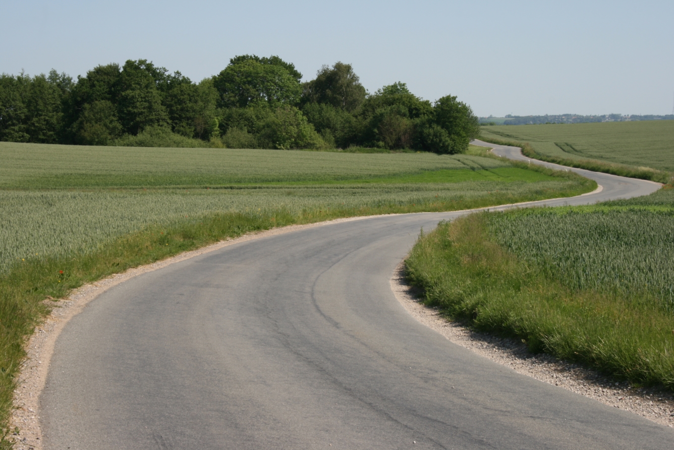
| ကဵုယၟု | The Danish, so-called "Middle Age-roads" are very old, and many of them were used during the Middle Ages. They are caracterized by their winding course. | ||
| စၟတ်တ္ၚဲ | |||
| တမ်ရိုဟ် | Own photo, taken at Malling, Jutland. | ||
| ကဝိ | Sten Porse | ||
| တင်မကဵုအခေါင် (ကလေင်သုင်စောဲ ဝှာင်ဏအ်) |
Sten၊ ဤလုပ်ဆောင်ချက်၏ မူပိုင်ခွင့်ပိုင်ရှင်အနေဖြင့် ဤနေရာမှ အောက်ပါလိုင်စင်များအောက်တွင် ထုတ်လွှင့်ပါသည်: ဤဖိုင်သည် Creative Commons Attribution-Share Alike 3.0 Unported, 2.5 Generic, 2.0 Generic နှင့် 1.0 Generic လိုင်စင်အောက်တွင် လိုင်စင်သတ်မှတ်ထားပါသည်။ ဒဒှ်မစၟတ်သမ္တီကေတ်: Sten
လာင်ဇြေန် မၞး မၞုံပၟိက်ဂှ် မၞးရုဲစှ်ကေတ် မာန်ရ၊၊ |

| Camera location | | View this and other nearby images on: OpenStreetMap |
|---|
ဝှာင် လၟေင်အပြံင်အလှာဲ
ဍဵု လတူ စၟတ်တ္ၚဲ/အခိင် မွဲမွဲ သွက်ဂွံ ထ္ၜးကဵု ဝှာင် မကတဵုဒှ်လဝ် ပ္ဍဲအခိင်ဂှ်၊၊
| စၟတ်တ္ၚဲ/အခိင် | ဗီုပြင်နမူနာ | ပမာဏ | ညးလွပ် | တင်ပသောင်ကလး | |
|---|---|---|---|---|---|
| လၟုဟ် | ၂၁:၂၄၊ ၁၀ ဂျောန် ၂၀၀၇ | | ၁၃၆၀ × ၉၀၈ (၈၃၀ KB) | Sten | {{Information| |Description=The Danish, so-called "Middle Age-roads" are very old, and many of them were used during the Middle Ages. They are caracterized by their winding course. |Source=Own photo, taken at Malling, Jutland. |Date=7.6.2007 |Author=[[Us |
ဝှာင် ဗီုဂွံစကာ
အရာမဆက်ဗက်ကၠုင် page links ကုဝှာင်ဏအ် ဂမၠိုင်ဂှ် -
ဝှာင် သွက်ဂွံသုင်စောဲ ဂလုပ်ဗဴ
ဗွဲသၟဝ်ဏအ်ဂှ် ဒှ်အရာ ဝဳကဳတၞဟ် မစကာလဝ် ဝှာင်ဏအ်၊၊
- ဗီုစကာ ပ္ဍဲ azb.wikipedia.org
- ဗီုစကာ ပ္ဍဲ de.wikibooks.org
- ဗီုစကာ ပ္ဍဲ de.wiktionary.org
- ဗီုစကာ ပ္ဍဲ en.wikipedia.org
- ဗီုစကာ ပ္ဍဲ en.wikibooks.org
- ဗီုစကာ ပ္ဍဲ en.wiktionary.org
- ဗီုစကာ ပ္ဍဲ fi.wiktionary.org
- ဗီုစကာ ပ္ဍဲ fr.wikipedia.org
- ဗီုစကာ ပ္ဍဲ he.wikiquote.org
- ဗီုစကာ ပ္ဍဲ id.wiktionary.org
- ဗီုစကာ ပ္ဍဲ jbo.wikipedia.org
- ဗီုစကာ ပ္ဍဲ pl.wikipedia.org
- ဗီုစကာ ပ္ဍဲ pl.wiktionary.org
- ဗီုစကာ ပ္ဍဲ ru.wiktionary.org
- ဗီုစကာ ပ္ဍဲ sv.wiktionary.org
- ဗီုစကာ ပ္ဍဲ tcy.wikipedia.org
- ဗီုစကာ ပ္ဍဲ tr.wikipedia.org
- ဗီုစကာ ပ္ဍဲ uz.wikipedia.org
- ဗီုစကာ ပ္ဍဲ zh-yue.wikipedia.org
- ဗီုစကာ ပ္ဍဲ zh.wiktionary.org